
Step 1
Walk & capture
Mount a 360° camera or use the Fieldora capture app. Routes auto-map to levels and zones.
Product
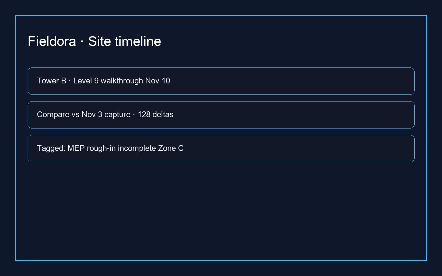
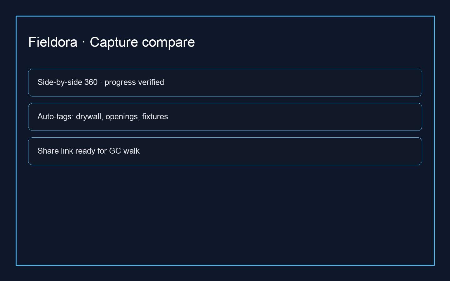
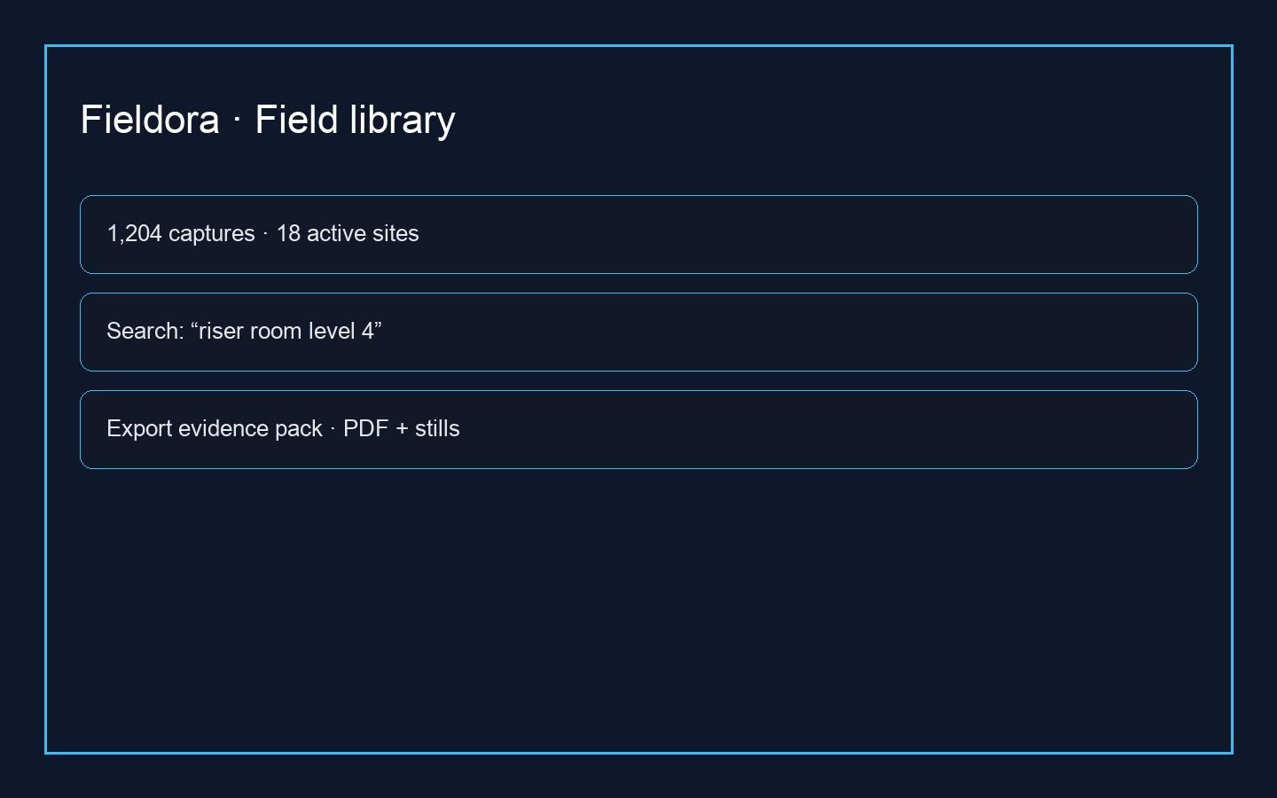
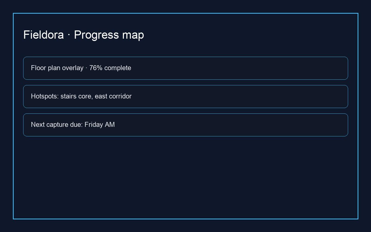
Fieldora keeps one photo record of the job, sorted by zone, so the site office and the field argue from the same pictures.
Legal name: Fieldora Technologies Ltd
Registration: RC-PENDING-OWNER
Nature of business: Construction reality capture and field documentation software
Address: Lagos, Nigeria
TIN: Pending

Step 1
Mount a 360° camera or use the Fieldora capture app. Routes auto-map to levels and zones.
Step 2
We register frames to your drawings and highlight installation vs. plan at element level.
Step 3
Share explorer links, issue tags, and progress snapshots with GC, trade, and owner seats.